
Un momento, por favor
Un momento, por favor
American · 1840–1882
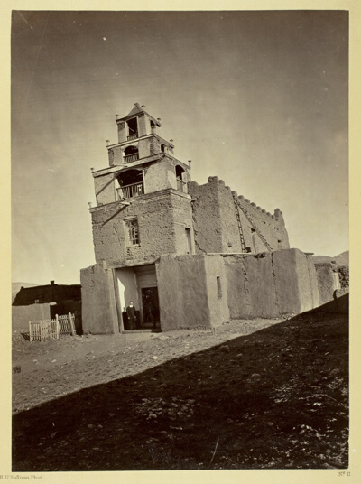 The Church of San Miguel, the Oldest in Santa Fe, N.M.Timothy O'Sullivan · 1873
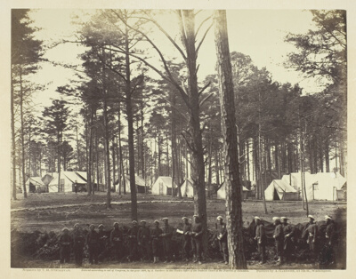 Head-Quarters Army of the PotomacTimothy O'Sullivan · February 1864
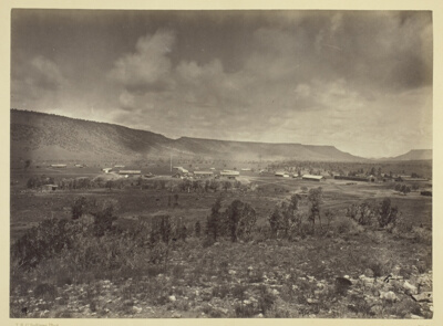 Distant View of Camp Apache, ArizonaTimothy O'Sullivan · 1873
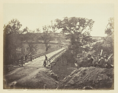 Chesterfield Bridge, North Anna, VirginiaTimothy O'Sullivan · May 1864
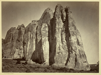 The South Side of Inscription RockTimothy O'Sullivan · 1873
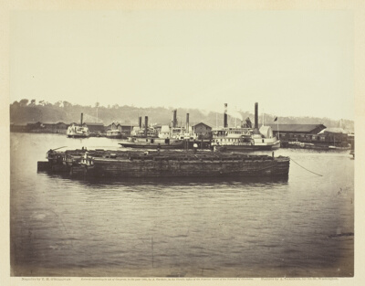 Evacuation of Aquia CreekTimothy O'Sullivan · June 1863
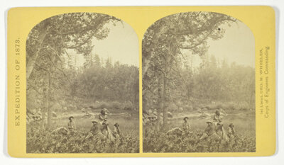 Coyotero Apache Scouts, at Apache Lake, Sierra Blanca Mountains, Arizona. Two members of the Expedition in the back-ground, No. 31 from the series "Geographical Explorations and Surveys West of the 100th Meridian"Timothy O'Sullivan · 1873
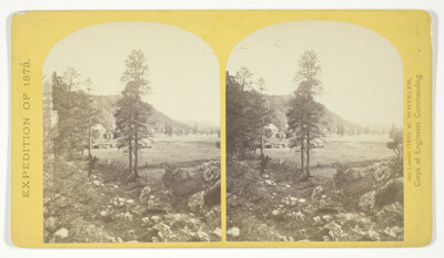 Cooley's Ranch, 10 miles east of Camp Apache, Arizona. A characteristic mountain "Park" and Apache Indian Farm. Here the Apaches grow corn, wheat and a few vegetables, No. 32 from the series "Geographical Explorations and Surveys West of the 100th Meridian"Timothy O'Sullivan · 1873
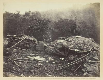 Interior of Breastworks on Round Top, GettysburgTimothy O'Sullivan · July 1863
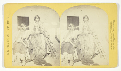 Jicarilla Apache Brave and Squaw, lately wedded. Abiquiu Agency, New MexicoTimothy O'Sullivan · 1874
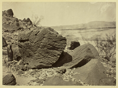 Rock Carved by Drifting Sand, Below Fortification Rock, ArizonaTimothy O'Sullivan · 1871
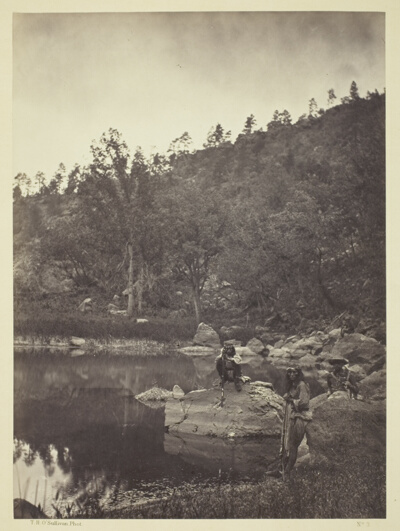 View on Apache Lake, Sierra Blanca Range, Arizona, Two Apache Scouts in the ForegroundTimothy O'Sullivan · 1873
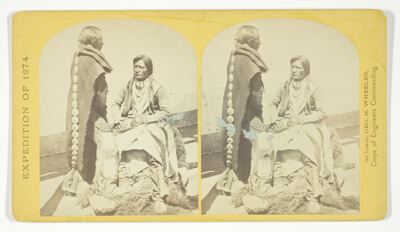 Ute Braves, of the Kah-poh-teh band, Northern New Mexico, in "full dress", No. 40 from the series "Geographical Explorations and Surveys West of the 100th Meridian"Timothy O'Sullivan · 1874
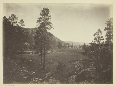 Cooley's Park, Sierra Blanca Range, ArizonaTimothy O'Sullivan · 1873
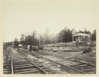 Appomattox Station, VirginiaTimothy O'Sullivan · April 1865
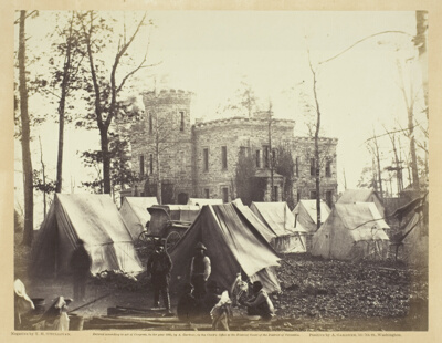 Castle Murray, Near Auburn, VirginiaTimothy O'Sullivan · November 1863
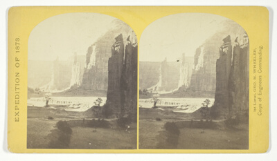 Central portion of Canñon de Chelle, New Mexico. This Canñon is one of the most remarkable in the west, and is noted for its beauty. The walls are of Red Sand-stone, nearly perpendicular, and at this point are 1.200 feet in height, No. 24 from the series "Geographical Explorations and Surveys West of the 100th Meridian"Timothy O'Sullivan · 1873
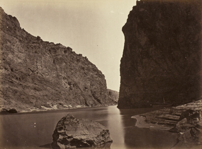 Black Cañon, Colorado River, Looking Below, Near Camp 7Timothy O'Sullivan · 1871
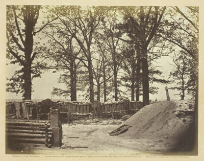 View of the Interior of Fort SteadmanTimothy O'Sullivan · May 1865
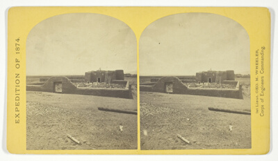 Roman Catholic Church, Plaza of Guadaloupe, Guadaloupe Co., Colorado. Built not many years since of adobes. Dimensions, length 120 feet; width 60 feet; height 25 feet. Grave yard in the foreground surrounded by an abode wall about 6 feet in height, No. 34 from the series "Geographical Explorations and Surveys West of the 100th Meridian"Timothy O'Sullivan · 1874
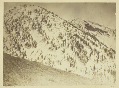 Snow Peaks, Bull Run Mining District, NevadaTimothy O'Sullivan · 1871
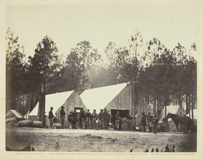 Commissary Department, Head-Quarters Army of the PotomacTimothy O'Sullivan · February 1864
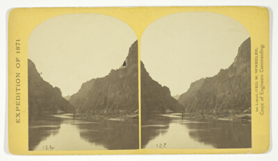 View across Black Cañon. The grand walls in perspective, No. 2 from the series "Geographical Explorations and Surveys West of the 100th Meridian"Timothy O'Sullivan · 1871
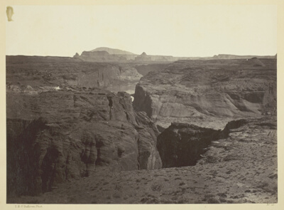 Cañon of the Colorado River, near Mouth of San Juan River, ArizonaTimothy O'Sullivan · 1873
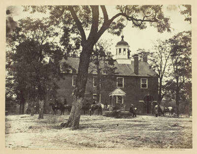 Fairfax Court-HouseTimothy O'Sullivan · June 1863
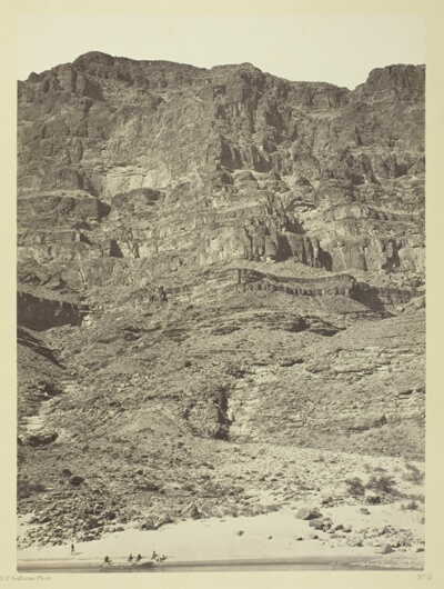 Wall in the Grand Cañon, Colorado RiverTimothy O'Sullivan · 1871
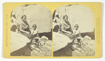 Navajo Indian Squaw, and Child, at their home, in Cañon de Chelle, No. 27 from the series "Geographical Explorations and Surveys West of the 100th Meridian"Timothy O'Sullivan · 1873
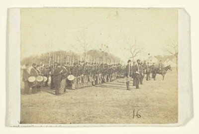 50th Pennsylvania Infantry in Parade FormationTimothy O'Sullivan · c. 1870/82
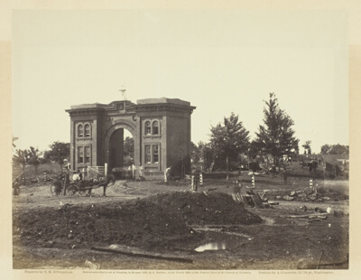 Gateway of Cemetery, GettysburgTimothy O'Sullivan · July 1863
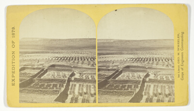 Gardens surrounding the Indian Pueblo of Zuni, in which are raised a variety of vegetables, such as peppers, onions, garlic &c, No. 18 from the series "Geographical Explorations and Surveys West of the 100th Meridian"Timothy O'Sullivan · 1873
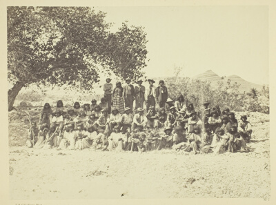 Group of Pah-Ute Indians, NevadaTimothy O'Sullivan · 1871
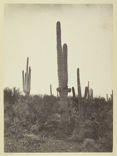 Cereus Giganteus, ArizonaTimothy O'Sullivan · 1871
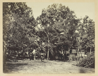 Head-Quarters, New York Herald, Army of the PotomacTimothy O'Sullivan · September 1863
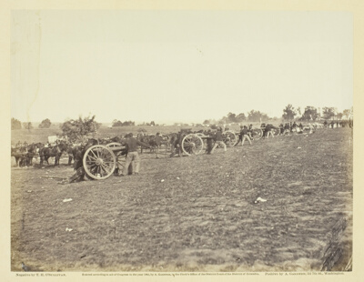 Incidents of the War: Battery D, 5th U.S. Artillery in ActionTimothy O'Sullivan · 1863
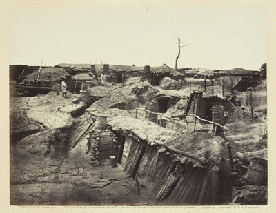 Quarters of Men in Fort SedgwickTimothy O'Sullivan · May 1865
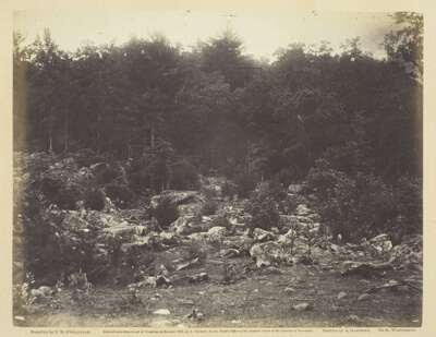 Slaughter Pen, Foot of Round Top, GettysburgTimothy O'Sullivan · July 1863
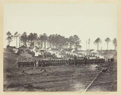 Guard Mount, Head-Quarters Army of the PotomacTimothy O'Sullivan · February 1864
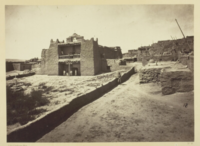 Old Mission Church, Zuni Pueblo, N.M. View from the PlazaTimothy O'Sullivan · 1873
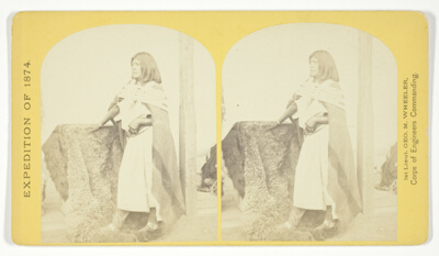 Pah-ge, a Ute Squaw, of the Kah-poh-teh band, Northern New Mexico, No. 39 from the series "Geographical Explorations and Surveys West of the 100th Meridian"Timothy O'Sullivan · 1874
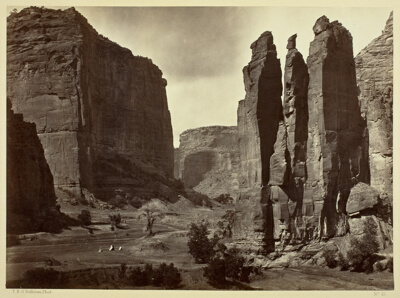 Cañon de Chelle, Walls of the Grand Cañon, about 1200 feet in heightTimothy O'Sullivan · 1873
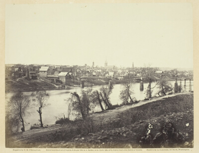 Fredericksburg, VirginiaTimothy O'Sullivan · February 1863
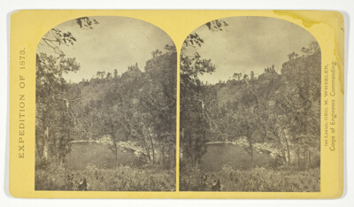 Apache Lake, Summit of Sierra Blanca Mountains, about 35 miles east from Camp Apache, Arizona, and 10.500 feet above sea-level. This lake is similar to many found in the western mountains, No. 30 from the series "Geographical Explorations and Surveys West of the 100th Meridian"Timothy O'Sullivan · 1873
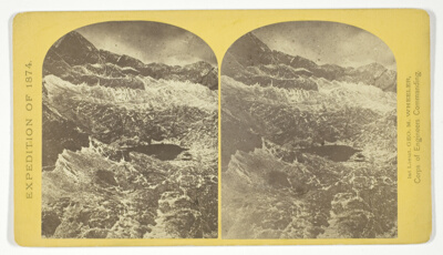 Alpine lakes, and mountain scenery, in the Cerro Blanco Mountains, Colorado, 13.000 feet above sea-level, No. 47 from the series "Geographical Explorations and Surveys West of the 100th Meridian"Timothy O'Sullivan · 1874
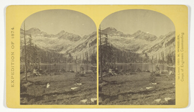 Alpine Lake, in the Cerro Blanco Mountains, Colorado. One of a group of ten lakes at the main head of Ute Creek. 11.000 feet above sea-level. Cerro Blanco Peak rises 14.269 feet abov the sea, lying to the westward, No. 45 from the series "Geographical Explorations and Surveys West of the 100th Meridian"Timothy O'Sullivan · 1874
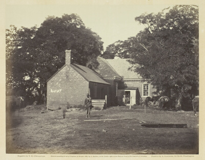 Charles City Court-House, VirginiaTimothy O'Sullivan · June 1864
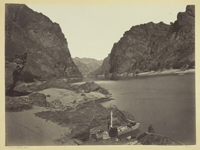 Black Cañon, Colorado River, Looking Above from Camp 7Timothy O'Sullivan · 1871
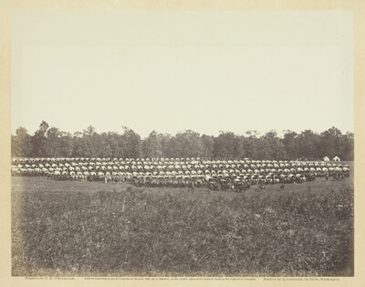 Wagon Park, Brandy Station, VirginiaTimothy O'Sullivan · May 1863
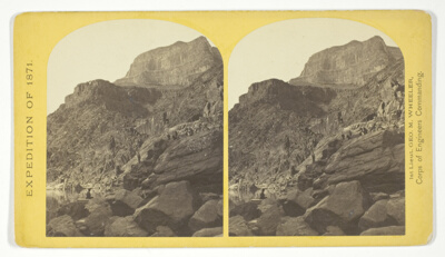 View of Grand Cañon walls, near mouth of Diamond River. From water line to first shelf 1.500 feet; from shelf to top of table 3.500 feet. Distance from point of view to top of walls 3 miles, No. 6 from the series "Geographical Explorations and Surveys West of the 100th Meridian"Timothy O'Sullivan · 1871
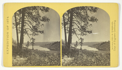 Lagunas Caballo, or Horse Lakes, 14 miles, N. W. from Tierra Amarilla, New Mexico. The water of the lakes is strongly mineral and not fit for men or animals to drink, No. 44 from the series "Geographical Explorations and Surveys West of the 100th Meridian"Timothy O'Sullivan · 1874
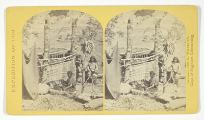 Aboriginal life among the Navajo Indians, Cañon de Chelle, New Mexico. Squaw weaving blankets. The native loom. The blankets made are of the best quality, and impervious to water, No. 26 from the series "Geographical Explorations and Surveys West of the 100th Meridian"Timothy O'Sullivan · 1873
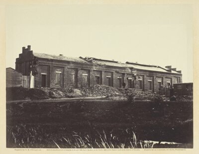 View of the Petersburg Gas WorksTimothy O'Sullivan · May 1865
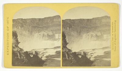 Shoshone Falls, Snake River, Idaho, Main Fall, 210 feet from upper to lower level, width of fall, 800 feet from upper to lower level; Height of Cañon wall at the falls, 1.000 feet. A number of minor falls, Islands, and boulder rocks above the main fall add beauty to the lonely majesty of this scene, No. 48 from the series "Geographical Explorations and Surveys West of the 100th Meridian"Timothy O'Sullivan · 1874
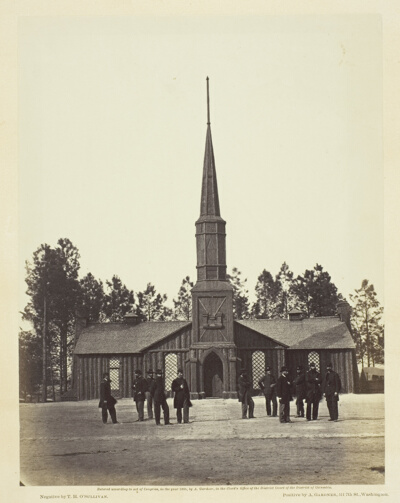 Poplar Grove ChurchTimothy O'Sullivan · 1860/64
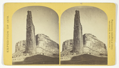 Explorers Column, Cañon de Chelle, Arizona. This shaft is the work of nature, and is about 900 feet in height; base about 70 by 110 feet. It stands near the center of the Cañon, and it is almost impossible to believe that it is not the work of human hands, No. 23 from the series "Geographical Explorations and Surveys West of the 100th Meridian"Timothy O'Sullivan · 1873
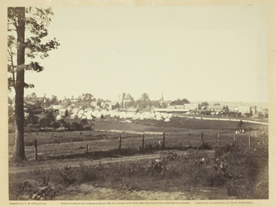 Culpeper, VirginiaTimothy O'Sullivan · November 1863
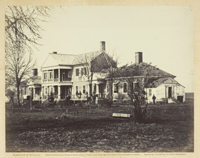 Lacey House, Falmouth, VirginiaTimothy O'Sullivan · December 1862
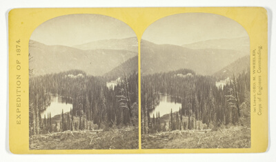 Lost Lakes, head of Conejos Cañon, Colorado, in the Sierra San Juan range, near divide between Conejos and south fork of Alamosa Rivers, surrounded by forest of Douglass spruce, and approximately 11.000 feel above sea-level, No. 37 from the series "Geographical Explorations and Surveys West of the 100th Meridian"Timothy O'Sullivan · 1874
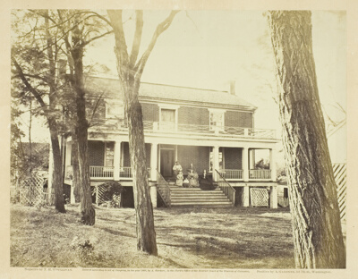 McLean's House, Appomattox Court-House, VirginiaTimothy O'Sullivan · April 1865
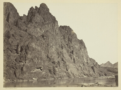 Bluff Opposite Big Horn Camp, Black Cañon, Colorado RiverTimothy O'Sullivan · 1871
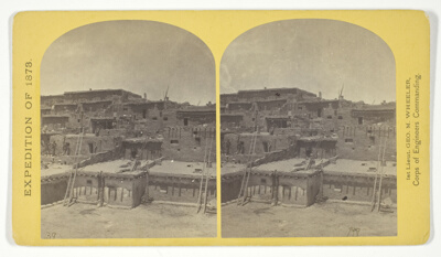 Indian Pueblo of Zuni, New Mexico; view from the interior. The "Pueblo" or town, encloses a quadrangular area within which are the ruins of a church built under the direction of the Jesuit missionaries. The houses are built one above the other to the height of five or six stories. The entrances are mostly from the top, the ascent and descent being made by ladders, No. 16 from the series "Geographical Explorations and Surveys West of the 100th Meridian"Timothy O'Sullivan · 1873