
Un momento, por favor
Un momento, por favor
Una mirada más cercana que conecta los detalles principales con el contexto de la obra.
Buscando esta guía.
In 1871 Timothy O’Sullivan, an experienced outdoor photographer, was recruited to contribute to a survey of the American Southwest with goals of assessing the native population, selecting sites for future military installations and railways, identifying mineral and other resources, and clarifying the border with Mexico. Working with cartographers and natural scientists, O’Sullivan documented lands unexplored by non-Native Americans, providing highly detailed photographs such as this image of Canyon de Chelly in northwestern northeastern Arizona, which had been continuously inhabited by the Anasazi and Navajo for nearly 5,000 years. Here O’Sullivan depicted the White House ruins, the striations of the canyon wall, and two small figures below, conveying the site’s monumental character. Although O’Sullivan’s famously sparse views are considered by some as forerunners to the modernist aesthetic of the early 20th century, such documents were likely intended only to imitate the graphic simplicity of maps and charts.
Descripción original del museo, en inglés. Licencia: CC BY 4.0
Guarda la imagen y la información del museo en este dispositivo para leerlas sin conexión.
Pregunta con tus propias palabras. La respuesta sale de lo que el museo ha escrito sobre la obra, y lo dice cuando ahí no está.
Imagen: Art Institute of Chicago, CC0
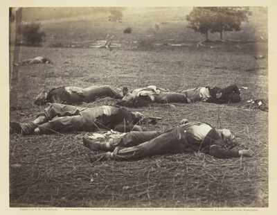 Field Where General Reynolds Fell, GettysburgTimothy O'Sullivan · July 1863
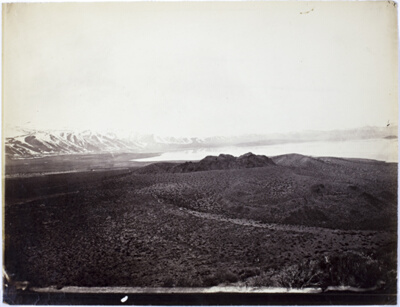 Mono Lake, Volcano, 13,000 FeetTimothy O'Sullivan · 1868
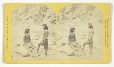 Types of Mojave Indians. This tribe inhabits the region of the lower Colorado, or western Arizona.Physically, they are the finest specimens in all the West, many of the males attaining to the height of 6 feet, No. 5 from the series "Geographical Explorations and Surveys West of the 100th Meridian"Timothy O'Sullivan · 1871
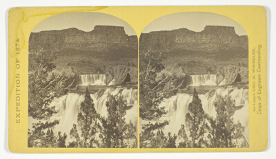 Shoshone Falls, Snake River, Idaho, looking through the timber, and showing the main fall, and upper or "Lace Falls", No. 49 from the series "Geographical Explorations and Surveys West of the 100th Meridian"Timothy O'Sullivan · 1874
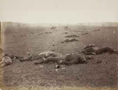 A Harvest of Death, Gettysburg, PennsylvaniaTimothy O'Sullivan · July 1863
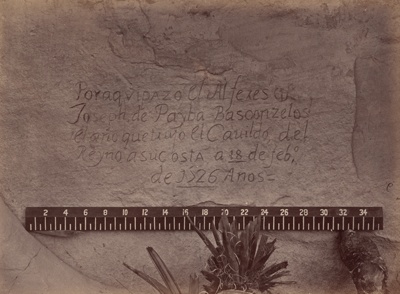 Geographical & Geological Explorations & Surveys West of the 100th MeridianTimothy O'Sullivan · 1871/73
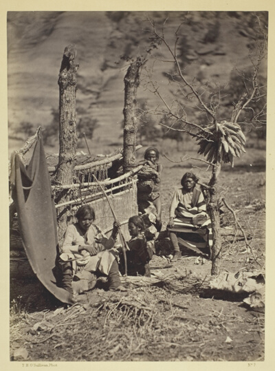 Aboriginal Life Among the Navajoe Indians, Near Old Fort Defiance, N.M.Timothy O'Sullivan · 1873
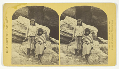 Navajo Brave and his Mother. The Navajo were formerly a warlike tribe until subdued by U.S. Troops, in 1859-60. Many of them now have fine flocks, and herds of horses, sheeps and goats, No. 29 from the series "Geographical Explorations and Surveys West of the 100th Meridian"Timothy O'Sullivan · 1873